 |
| http://www.drben.net/publishImages/Koreas_Report~Sources~Korea_Maps~Historic~1945~Map-Japan-Korea-1945-01~~element1972.jpg |
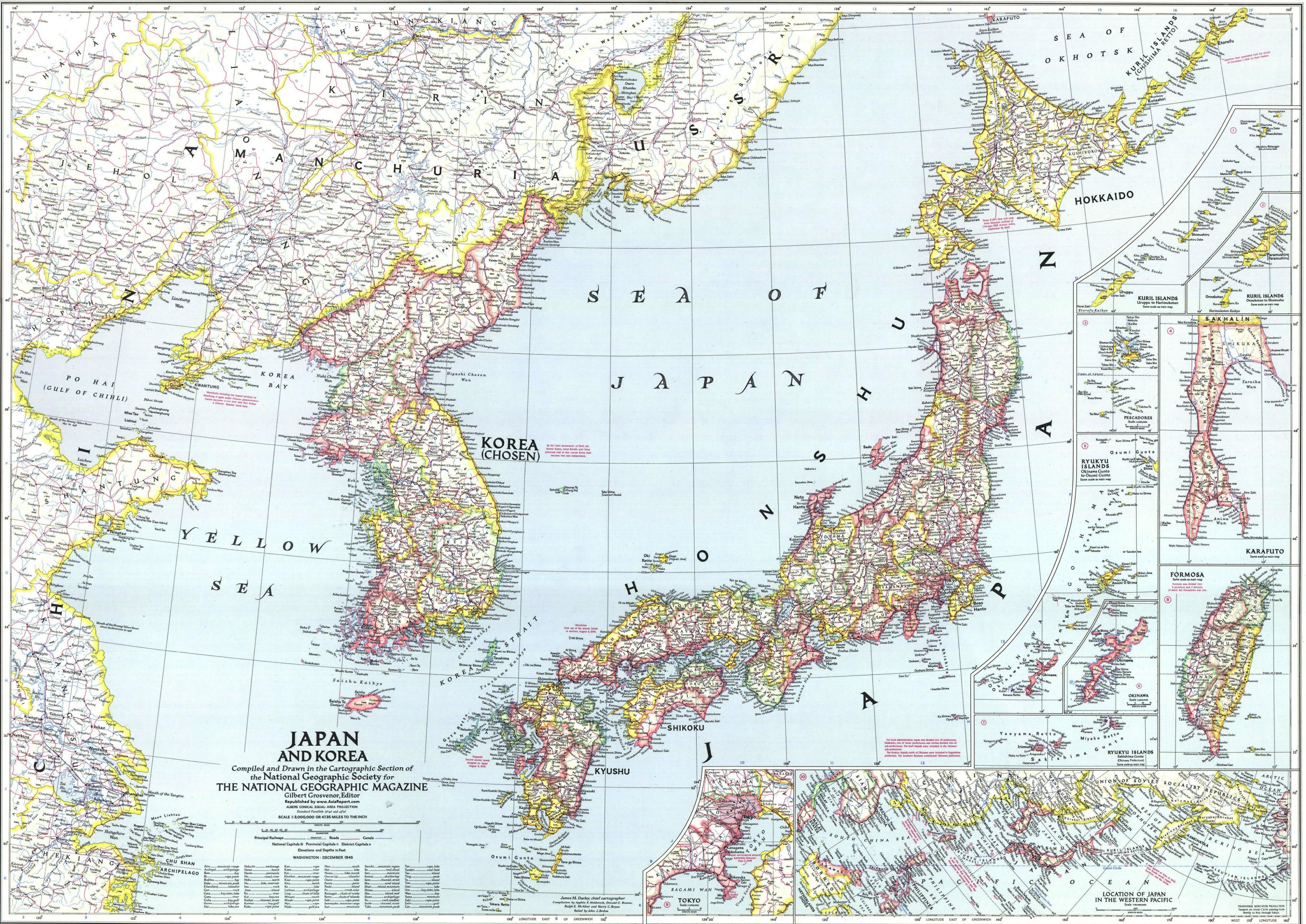
Japan is located on the east coast of Asia. It lies between the Sea of Japan and North Pacific Ocean.
The neighbor countries are North Korea, South Korea, China, and Russia. Its 277,955 sq kilometer long in longitude. The capital city of my country is Tokyo. The latitude and longitude of capital city is 35.6895° N, 139.6917° E. The warmest month in my city is August with an average monthly temperature of 79 F. The coldest month in my city is January with an average monthly temperature of 41 F. Based on the information above the annual range of temperature for my city is 38 F. The website where I found this information: http://www.holiday-weather.com/tokyo/averages/. One of the temperature controls that impacts Tokyo is the geographic position. Tokyo is on the east coast and is located middle of Japan. Tokyo has a subtropical weather, it does has season but some seasons are not strongly impacted then others. If the city was in the northern half of Japan, it would experience extremely cold weather but Tokyo is located the bottom half of japan so the winter aren't as strong like the ones in the city of Obihiro.
Honestly, I believe that all of the temperature controls does impact Tokyo. The ocean currents caused by wind to reaction between the atmosphere and the ocean. For example, the ocean current that deals with Japan is Kuroshiro Current. Kuroshiro Current is the northern flowing current on the west side of the Japan. The altitude, geographic position, and Albedo also helps with Tokyo's temperature. Before I stated the altitude and geographic position's reasons. With me telling you this, I believe there isn't a temperature controls we discussed in class that doesn't impact the bright city of Tokyo.
Japan's weather and climate varies from north to south just like United States. Obihiro gets extremely harsh winter because it is located in the northern area of Japan. Not the same situation for Kagoshima, which does still get winter for not as harsh as Obihiro. It gets subtropical weather, because it located on the southern part of Japan. This shows that the altitude and the geographic positions is really important in controlling the weather. December to February is the cold months which brings lots of snow and bizarre. Then June and July is the rainy and hot months, those months gets droughts and typhoons. Japan is just a country which has similar weather and climate as any state in United States. Some states of United States has a hotter summer than others states, just like Japan.
Since Tokyo's geographic position and altitude position shows us that Tokyo has subtropical weather, which I mention before. With this information, I can predict what type of weather it should have over the years. Springs and summers are very hot compare to other places in Japan but their falls and winters are cold but not compare to the other places (especially the northern half ), which gets extremely cold. June is the raining month for Japan which includes the capital city Tokyo. The city is quite humid, so it gets pretty hot when the sunny months come along, which is around August.
Compared to my Country it seems that yours is more affected by extreme weather than mine.The hottest and coldest times of the month differ from our countries because its not as far apart from mine. Based on how strongly your country is affected by weather I'd say you experience more rainfall in July and just in general than me.
ReplyDelete